



Wind farms
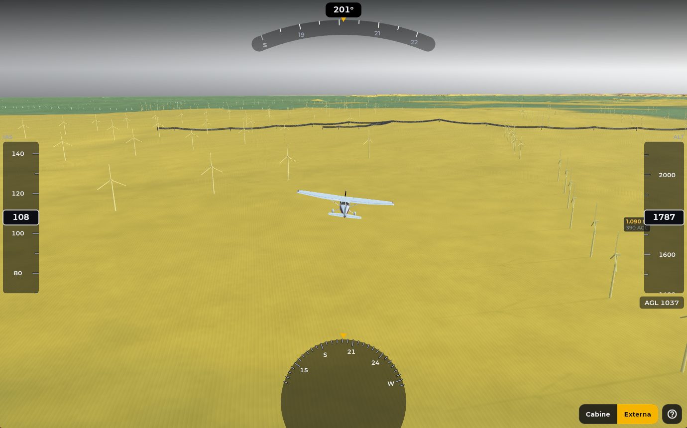
More than 17,000 wind turbines from the official ANEEL database, at their real position and height. The ones close to your altitude turn yellow or red, labeled with the tip height.
EFB platform with integrated AI for air planning and navigation. Technology developed for aviation professionals across the Americas and worldwide.
Now on Xbox Series X|S
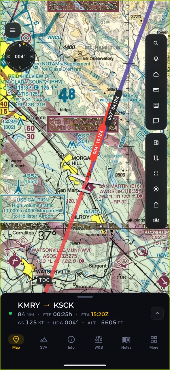
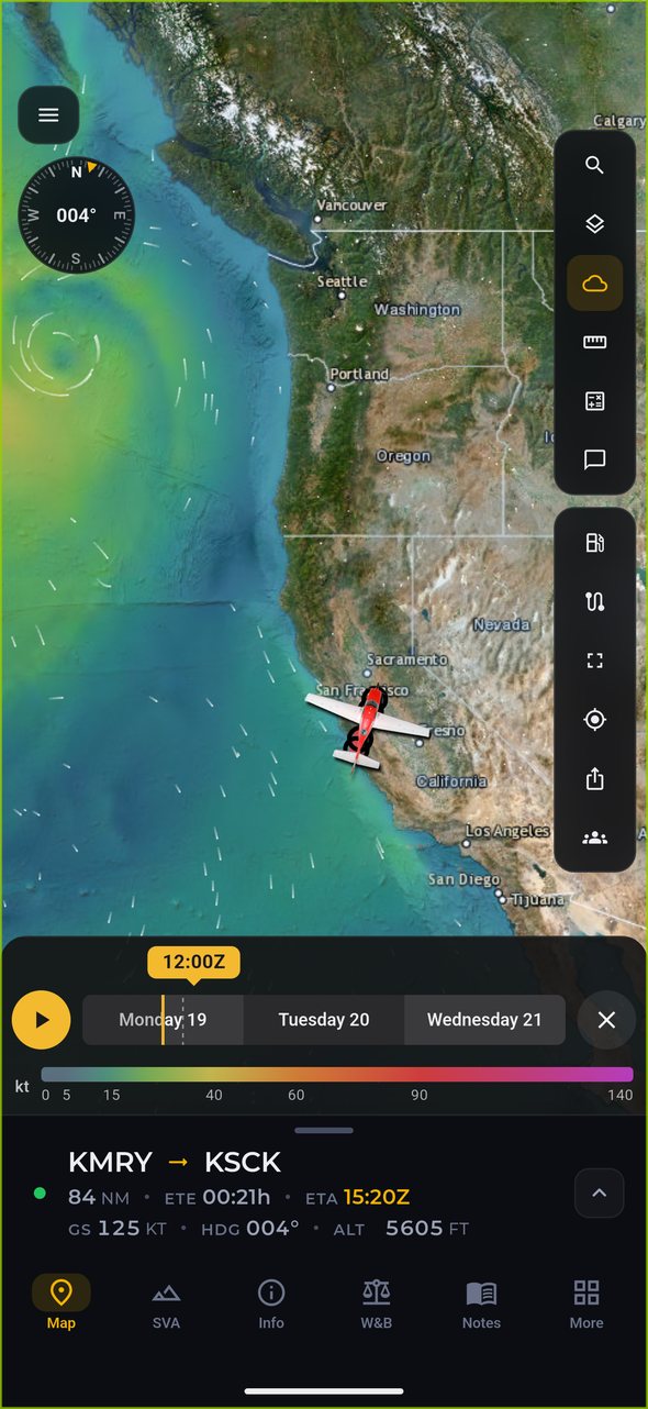
The Alfaero app now works with Microsoft Flight Simulator on Xbox Series X|S. The Alfaero Link add-on, built with SoCoSim, sends your flight position from the console straight to the map, on top of the chart and the route you planned.
Build your route with SIDs and STARs and check charts, METAR and TAF on your phone, tablet or browser.
Install the SoCoSim Alfaero Link add-on in the sim, open its panel and scan the QR code with your phone to sign in to your Alfaero account.
Your aircraft position shows live in the app, together with the chart and the route. The Xbox stays free for what matters: flying.
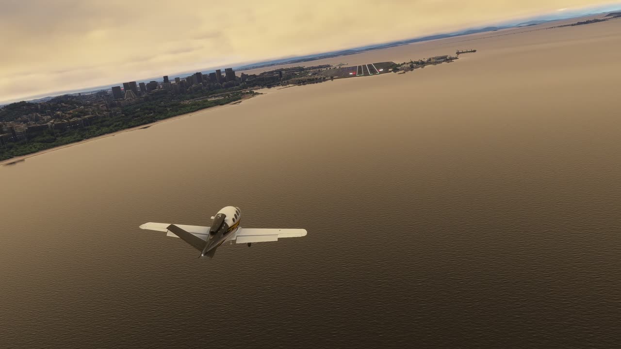
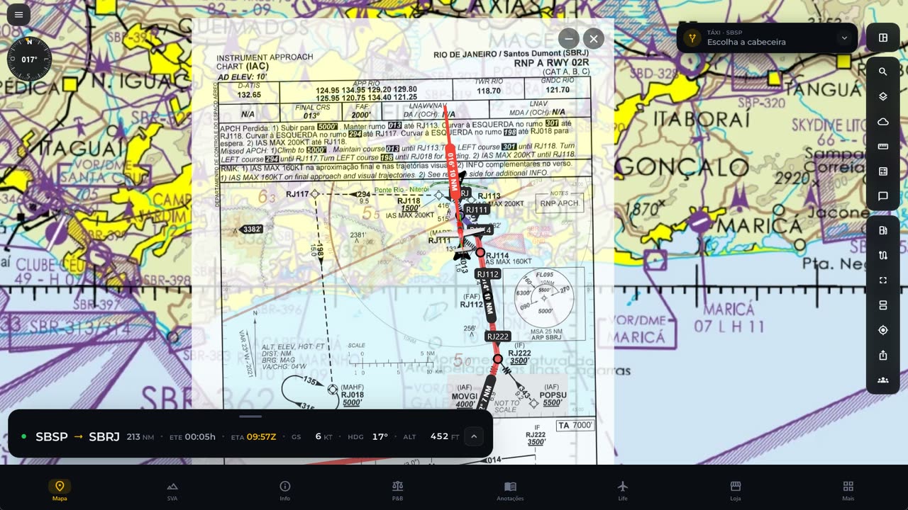
Requires the SoCoSim Alfaero Link add-on in Microsoft Flight Simulator 2020 or 2024. Real images of the sim and the Alfaero app at the same moment. Xbox and Xbox Series X|S are registered trademarks of the Microsoft group of companies. Alfaero is not affiliated with Microsoft.
SVA, the Alfaero synthetic vision Beta
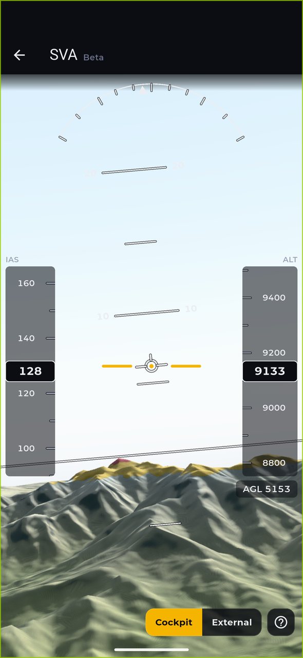
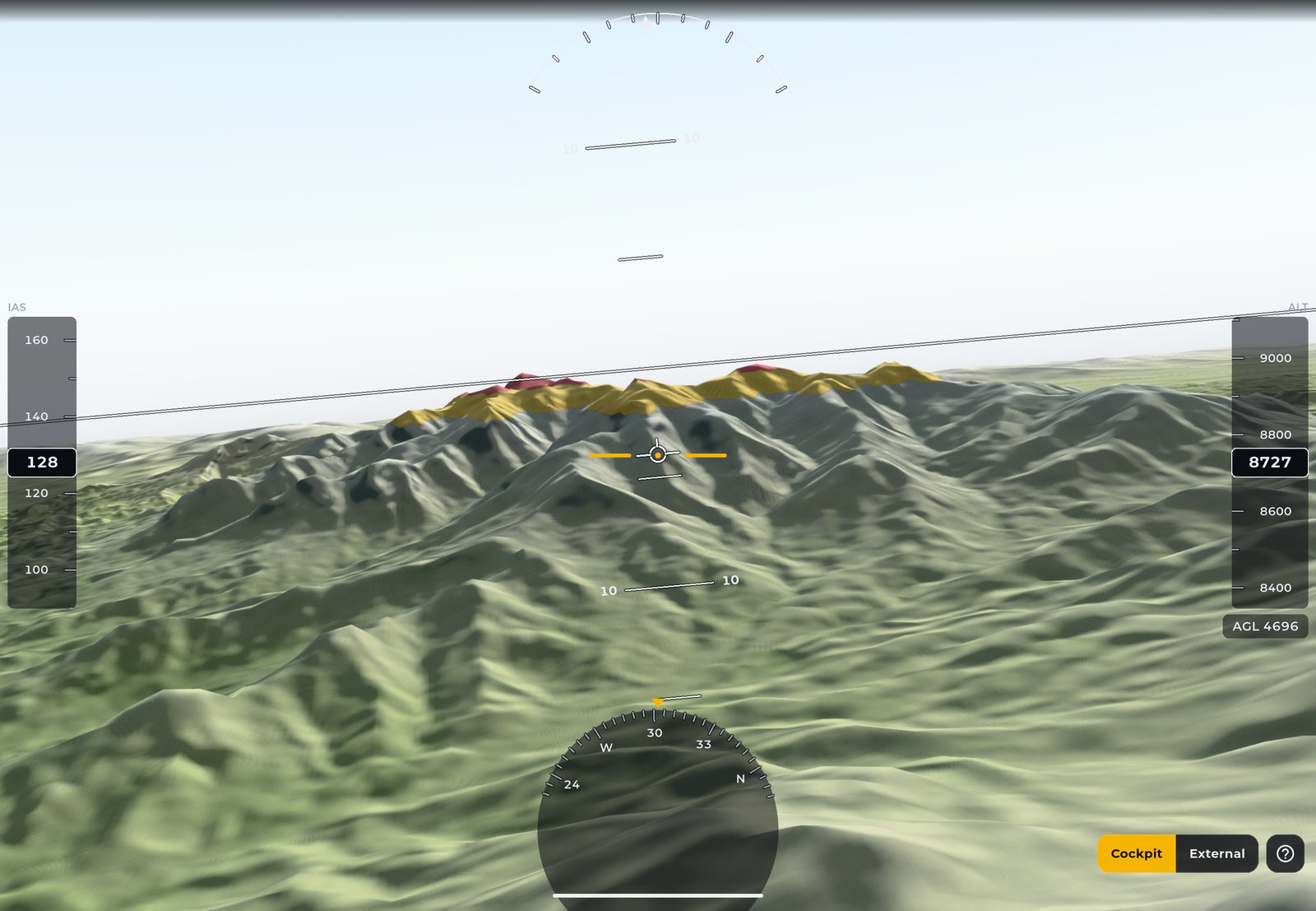
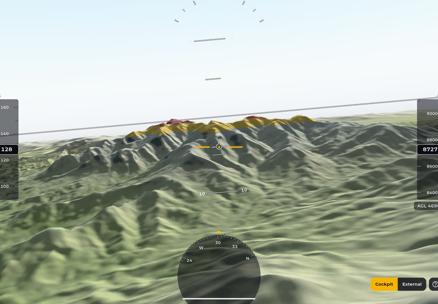
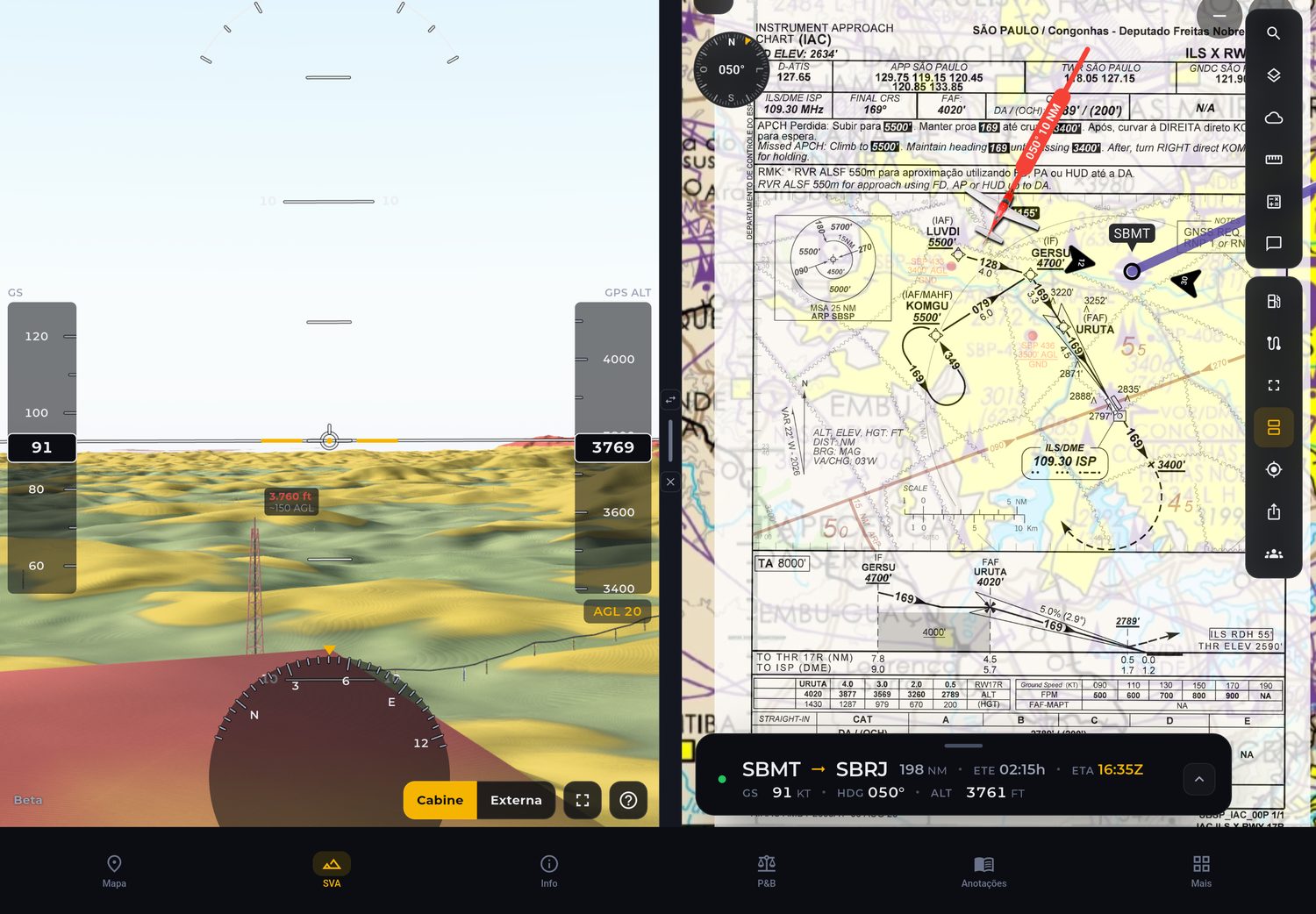
SVA draws the terrain, towers and wires around the aircraft in 3D, from the device GPS or from your simulator. Colors change with height: yellow when the terrain gets close to your altitude, red when it is above it.
More than 17,000 wind turbines from the official ANEEL database, at their real position and height. The ones close to your altitude turn yellow or red, labeled with the tip height.
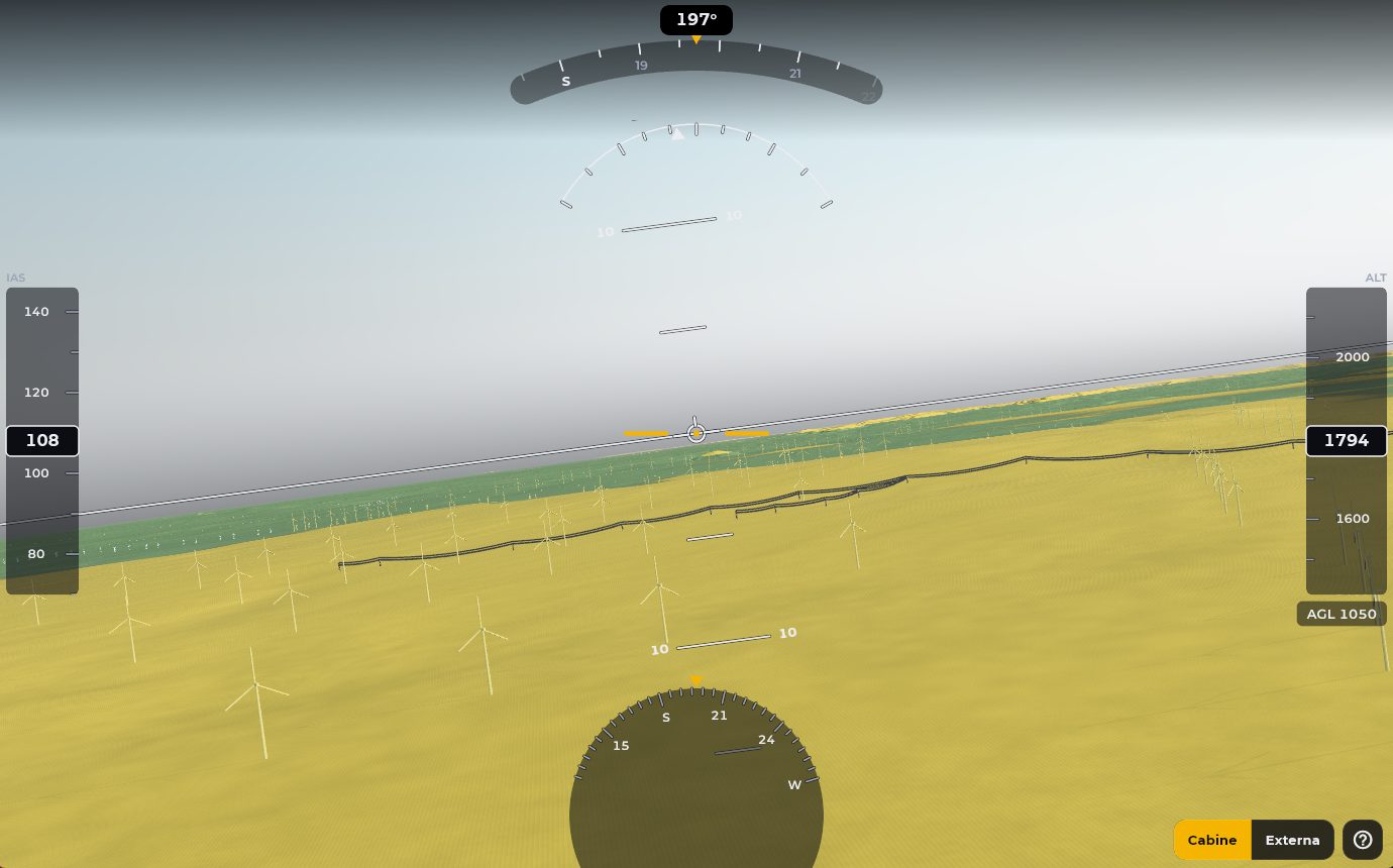
Power grid towers with the cables drawn between them, following the real sag of the wire. Wires show up to 6 km away and never disappear for being too thin on screen.
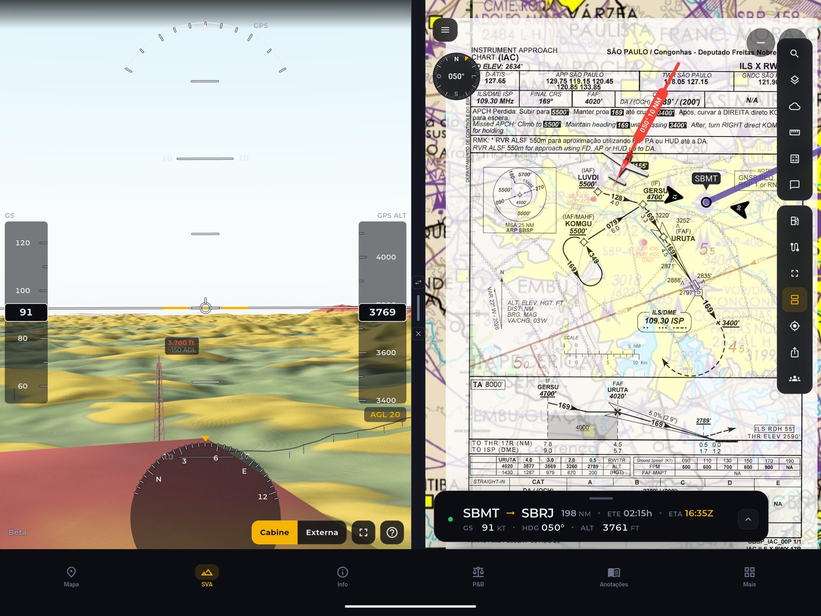
On the tablet split screen, SVA sits next to the approach chart or the map. Cockpit or external view, with a 3D aircraft.
Copernicus 30 m elevation with speed and altitude tapes, height above ground (AGL), pitch ladder and compass, in the layout you already know from glass cockpits.
Telecom towers, masts and chimneys, each type with its own 3D model and the same danger color rule as the terrain.
Download the terrain and obstacles for your region and fly in airplane mode seeing the same as online.
SVA is a situational awareness tool. It does not replace certified instruments, visual navigation or official obstacle publications.
Download AlfaeroAlfaero on your smartwatch
A new way to follow your flight. Navigation, your next waypoint and essential Alfaero flight data, right on your smartwatch.


Heading, course and lateral deviation on a compass designed for your wrist.
Distance, bearing and estimated time to the next point on your route.
Speed, altitude and flight times to follow every stage.

Follow the active leg and flight progress. Receive deviation alerts with a vibration on your wrist.
Actual Wear OS app screenshots. Requires a paired compatible phone with the Alfaero map open and an active route.
Explore the tools that go with you from planning to landing.
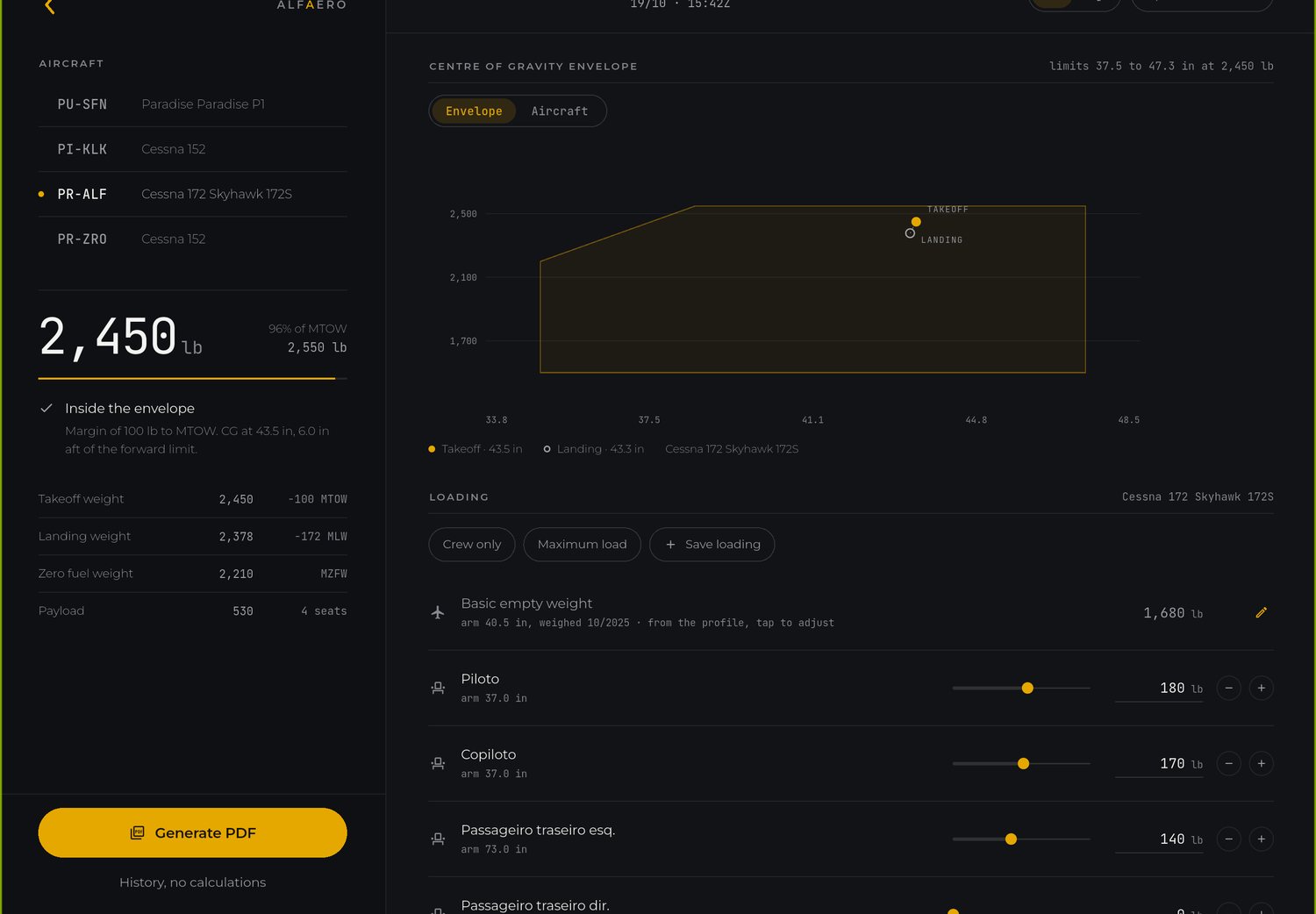
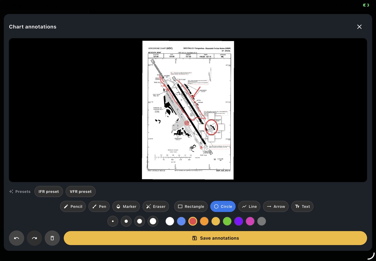
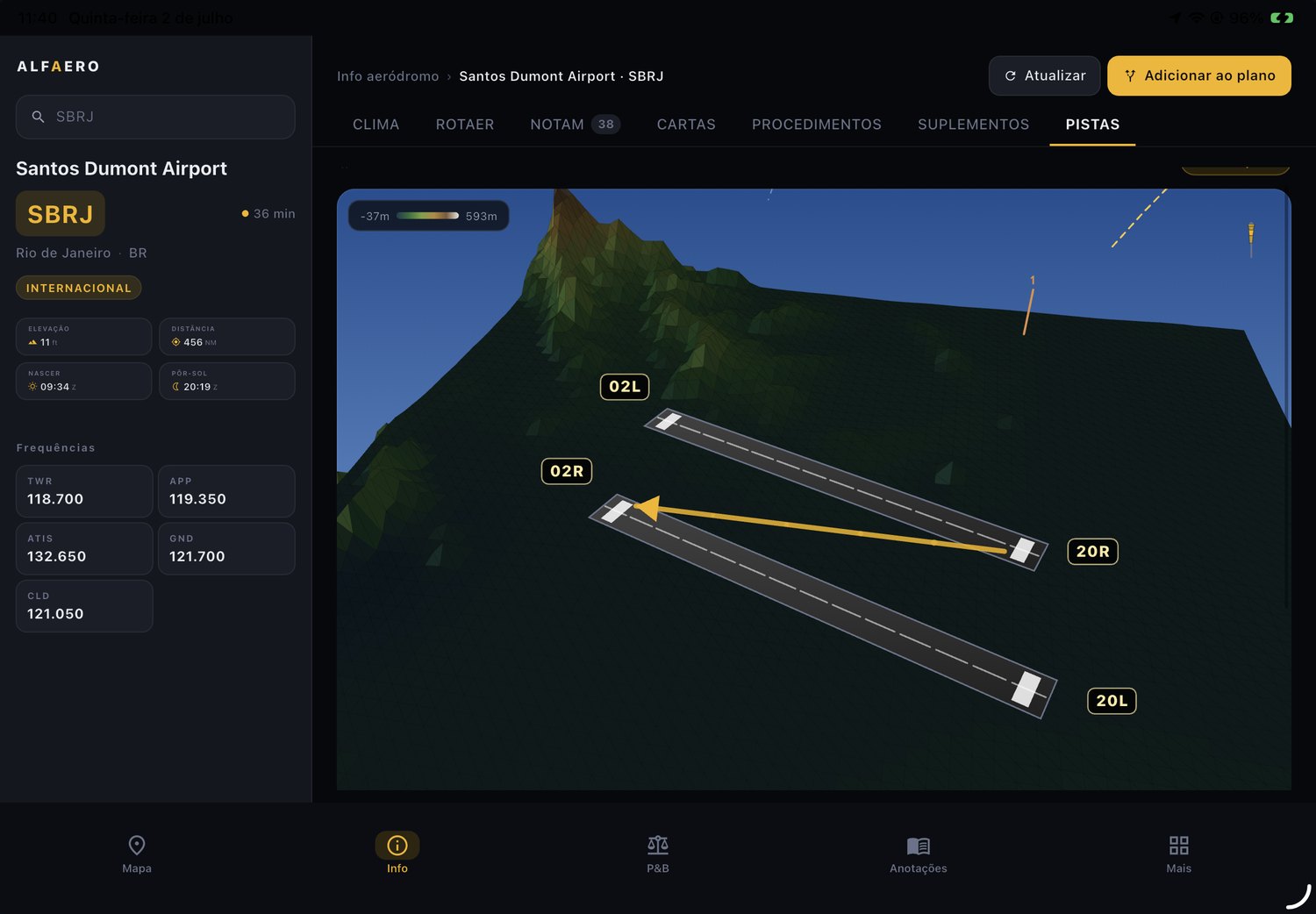
For pilots who really fly
On your phone or tablet, with the device GPS. Everything you check before and during the flight, in one app.
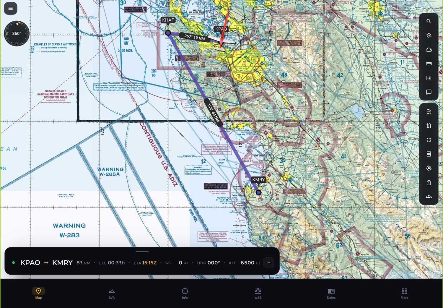
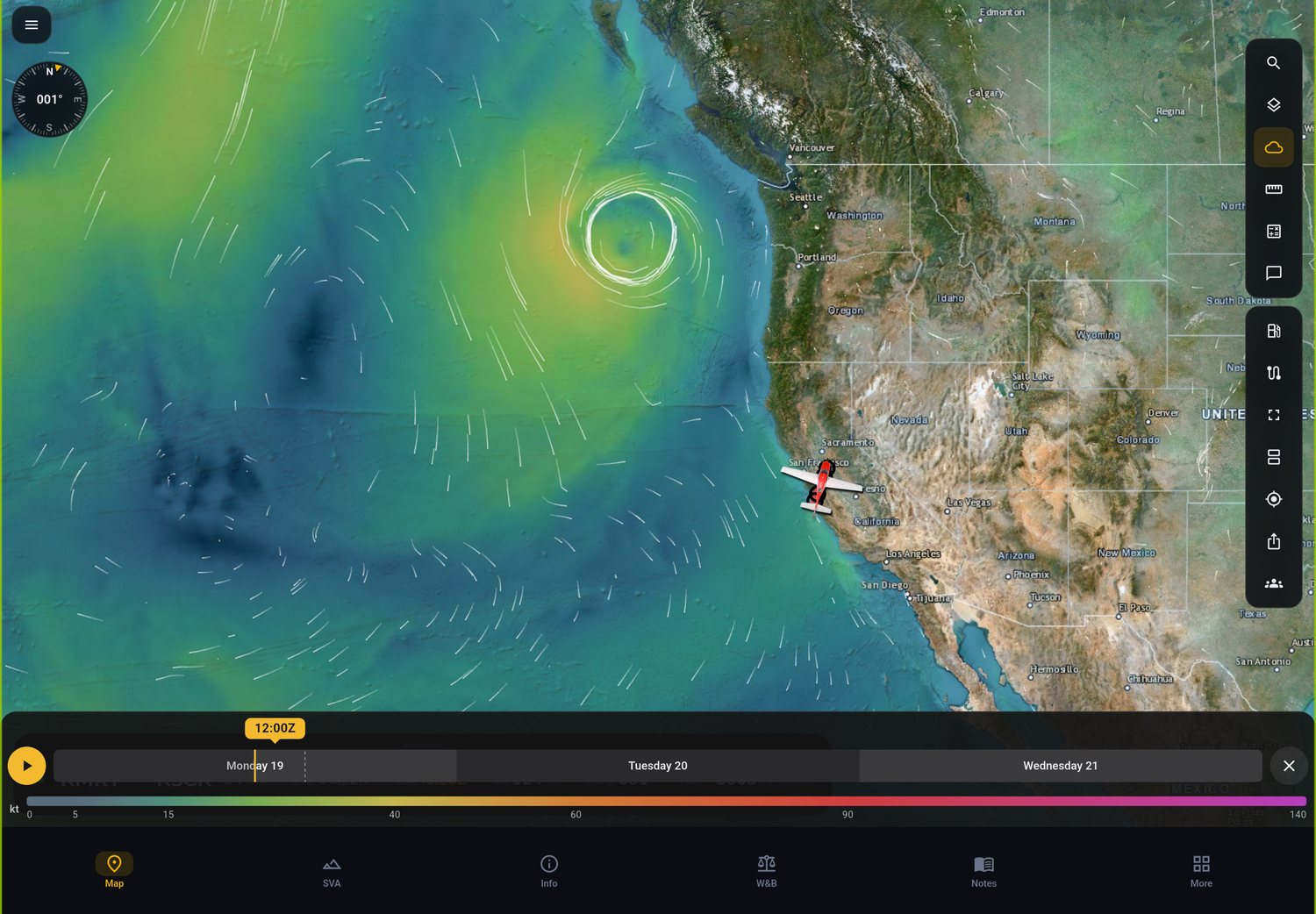
Position, heading, speed and altitude on the map and in SVA, with the track saved in your flight history.
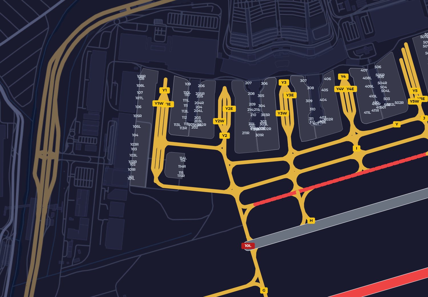
Each NOTAM shows where it applies. On the airport diagram, runways and taxiways closed by NOTAM turn red.
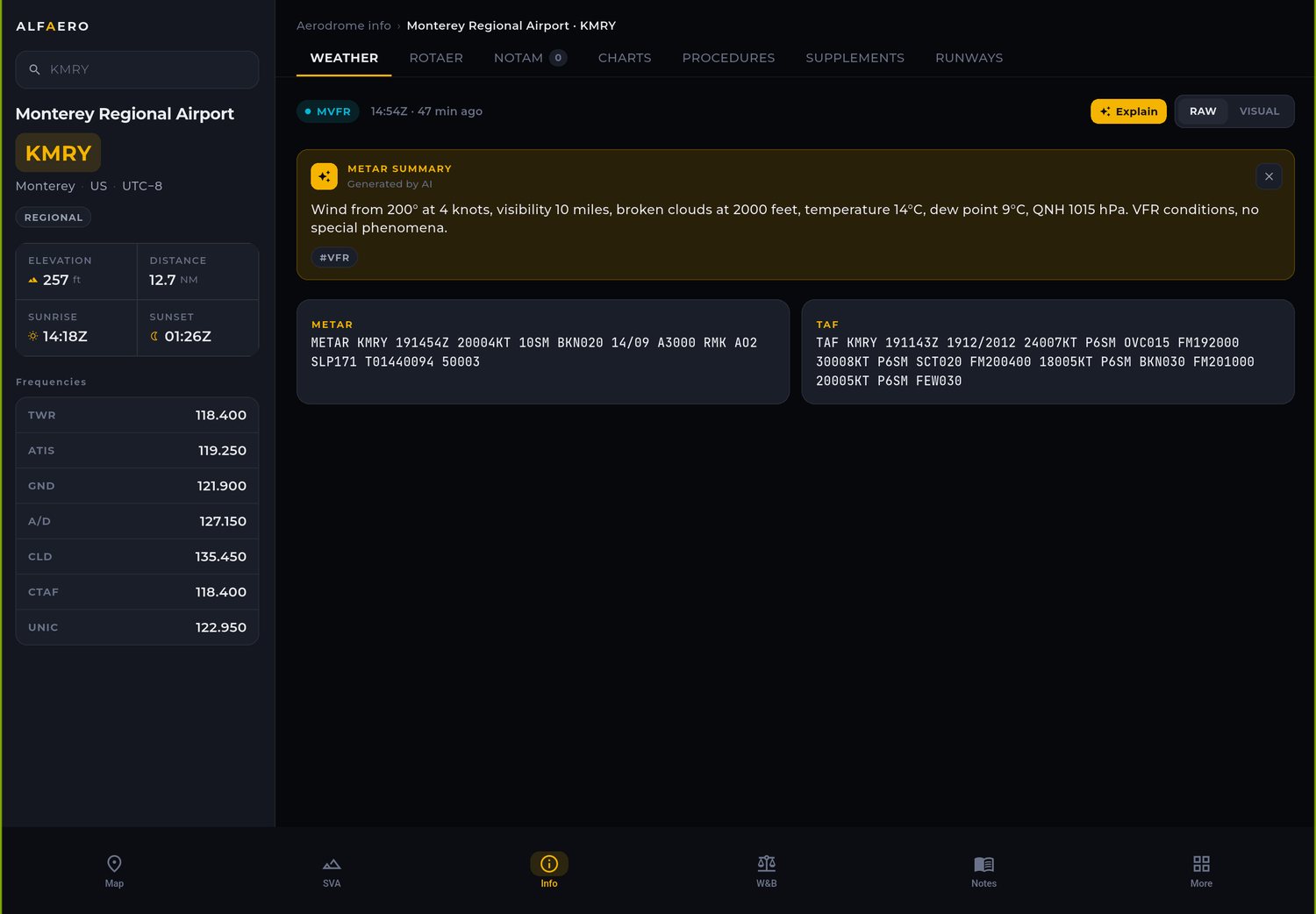
AI summary in plain language plus the headwind and crosswind for each runway, with the favored runway end.
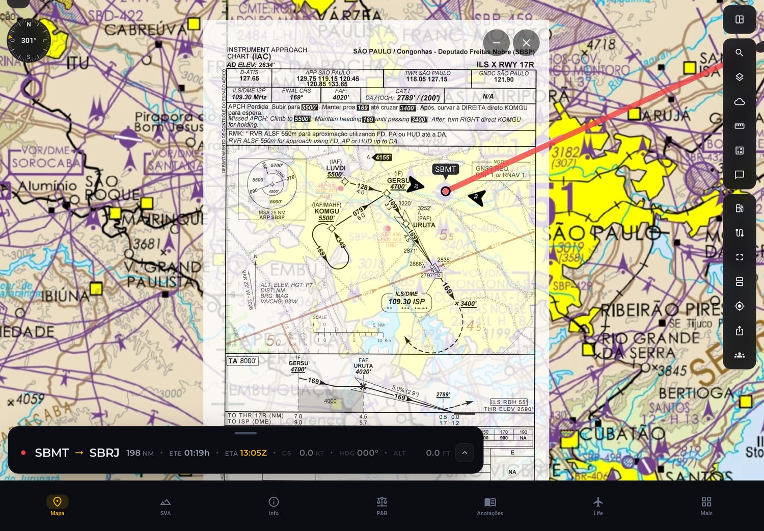
Airport, approach, SID and STAR charts on the map at their real position, with a notice when a new AIRAC is out.
We turn aeronautical charts and publications into structured data, with artificial intelligence speeding up processing, with more performance and less manual work. Available to all B2B clients.
We generate aeronautical procedures and data in structured AIXM format, ready to integrate, without slow manual processes.
Artificial intelligence reads and structures aeronautical charts and publications, increasing performance and reducing the team's workload.
The data is accessible to every Alfaero B2B client, ready to use in your operations.
The Alfaero app receives real-time telemetry from the leading flight simulators, on PC and on Xbox Series X|S.


Microsoft Flight Simulator, Microsoft Flight Simulator X, Xbox, Xbox Series X|S, X-Plane and Aerofly FS are trademarks and logos of their respective owners. Alfaero is not affiliated with, sponsored by or endorsed by them; the names and logos are shown only to indicate compatibility, and all rights belong to their respective holders.
Planning became much faster and more standardized. We reduced prep time and gained consistency in briefings.
Excellent situational awareness and clear data. That keeps our pilots focused in the cockpit.
Reliable, fast, and well designed. Onboarding new crew members became much simpler.

Real people on WhatsApp, any time, to help with the app, your subscription and your flight planning.

Articles from the Alfaero blog about aviation, flight planning and what is new in the app.

Introdução ao Mercado de EFBs A escolha do Electronic Flight Bag (EFB) adequado representa uma decisão estratégica para...
Read more
Introdução aos checklists digitais A digitalização dos checklists de voo representa uma das aplicações mais práticas e i...
Read moreCookies on this site
We use cookies to measure how the site is used and to improve our ads. It is your choice; the cookies the site needs to work stay on. Privacy Policy