



USAeronautical charts
United States aeronautical charts (FAA)
The procedure charts published by the FAA for United States airports, with approaches and airport diagrams georeferenced over the map.
17,882charts
3,188aerodromes
10,770georeferenced
Figures checked against the database on 10/20/2026. Source: FAA terminal procedures publication (Federal Aviation Administration).
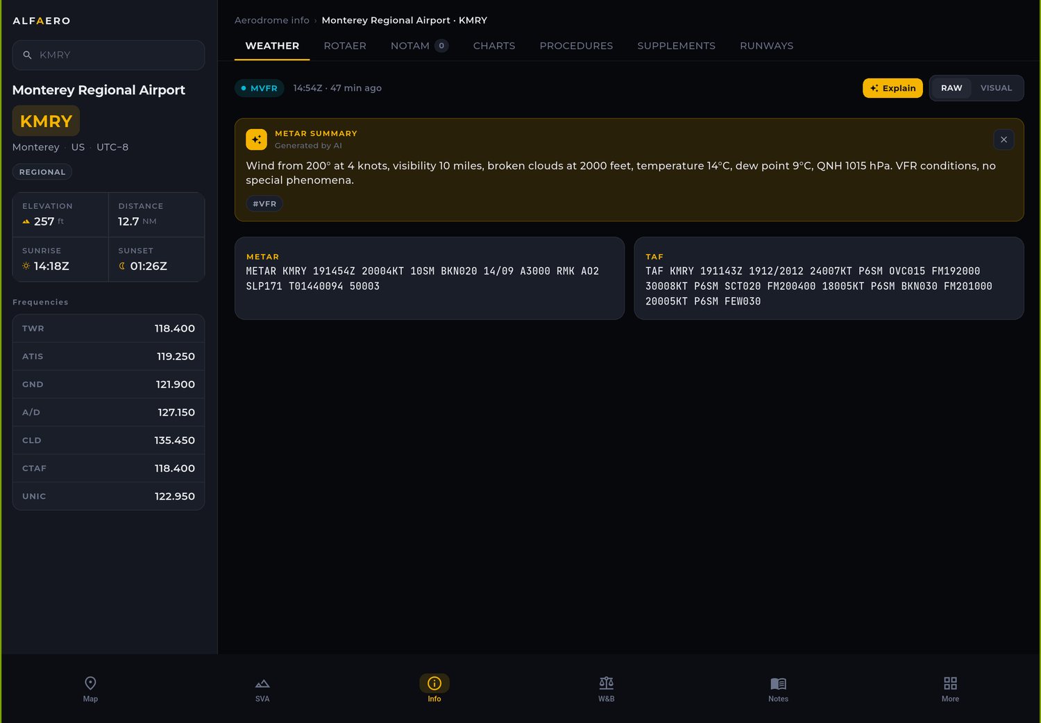
Aeronautical charts: United States
FAA departures and arrivals are drawn not to scale and therefore open as a chart, without overlaying the map.
- IAP9,987Georeferenced instrument approaches
- APD783Georeferenced airport diagrams
How to use
- Search for the airport by ICAO code, such as KJFK.
- Open the approach or the diagram.
- Tap show on map.
Countries with charts in the app
Frequently asked questions
How many US airports have charts?
More than 3,000 airports, with more than 17,000 charts in the Alfaero database.
Why are US SIDs and STARs not shown over the map?
Because the FAA publishes these charts not to scale. They open normally as a chart.
Try it on your next flight
Download Alfaero on your phone, tablet or Windows PC and use everything during the trial period.