



Flight planning
Before the flight: charts downloaded, route built and waypoints in place
Your first flight with Alfaero starts on the ground. In this video you download the charts for Brazil, build the route from Campo de Marte (SBMT) to Jundiaí (SBJD), add the waypoints along the way and fix their order and position, all in a few minutes.
Step by step
- Tap More and then Downloads. Under Procedures, download Brazil: the app downloads the approach, SID and STAR charts aerodrome by aerodrome. Under Maps you find the regional charts, such as the REA (Brazil's visual route chart).
- Go back to the map, open the route panel and type the departure in the search bar (SBMT). Tap the right result and repeat with the destination (SBJD).
- Type the waypoints along the way, such as Perus and Penteado. Each new waypoint goes in before the destination, and the panel shows the distance, heading and time of each leg.
- You can also add them from the map magnifier: search for Morato and tap Add.
- If the order is wrong, hold the waypoint handle and drag it to the right place. The legs are recalculated instantly.
- To adjust a waypoint, drag its marker on the map. Near an aerodrome or fix it snaps into place; far from them, it becomes a coordinate. Made a mistake? Tap undo.
- Before you leave, check in More, Downloads, that Brazil shows as complete.
Frequently asked questions
Do the charts work without internet?
Yes. Once the country download finishes, the procedure charts and the regional charts open even without a connection, such as in airplane mode during the flight.
Can I change the waypoint order after building the route?
Yes. Hold the waypoint handle in the route panel and drag it. The distance, heading and time of each leg are recalculated at the same moment.
More tutorials
All tutorials-
 0:59 VFR route along the São Paulo REA Campo de Marte to Jundiaí along the visual points, in under a minute.
-
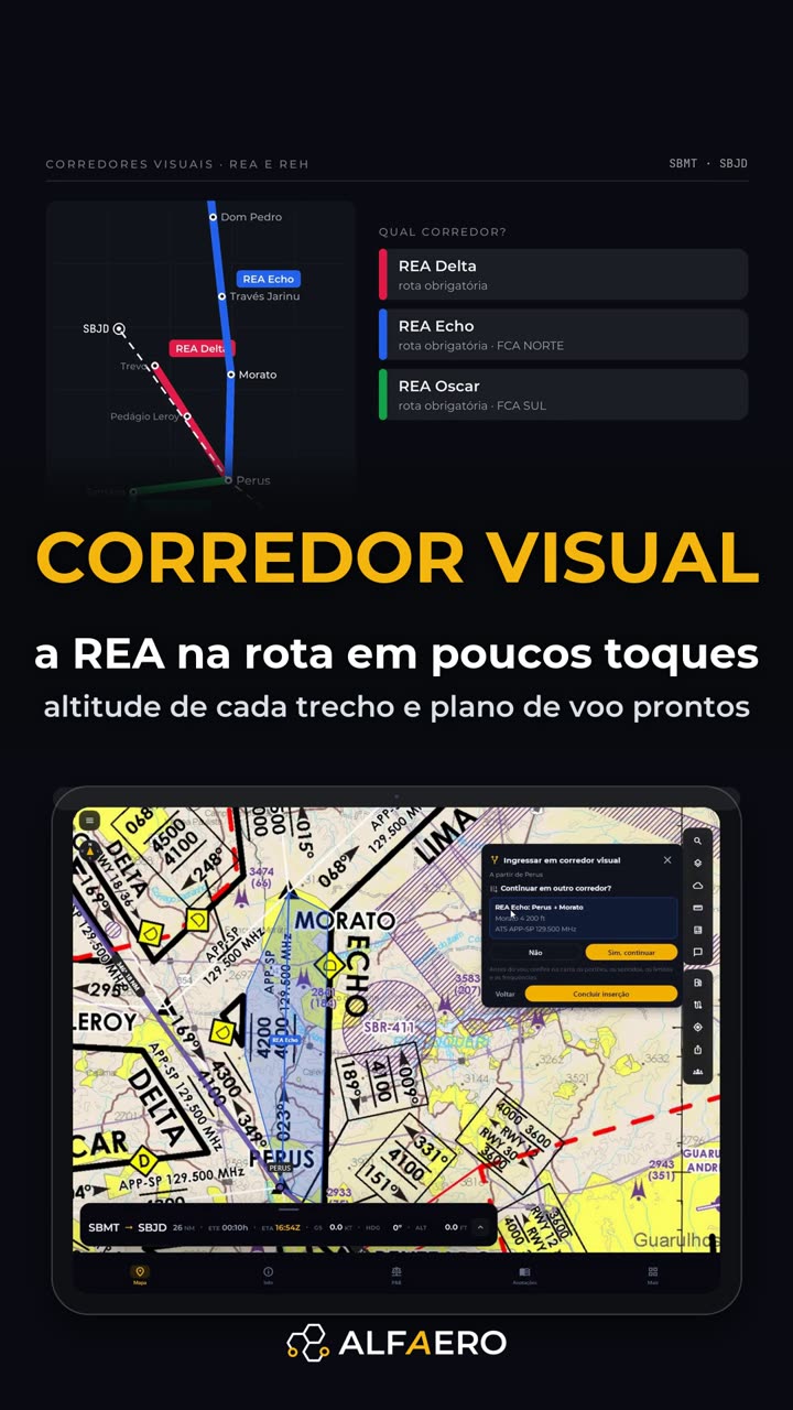 1:30 REA and REH visual corridors Choose the corridor and the exit; the points go in as a block with the altitude.
-
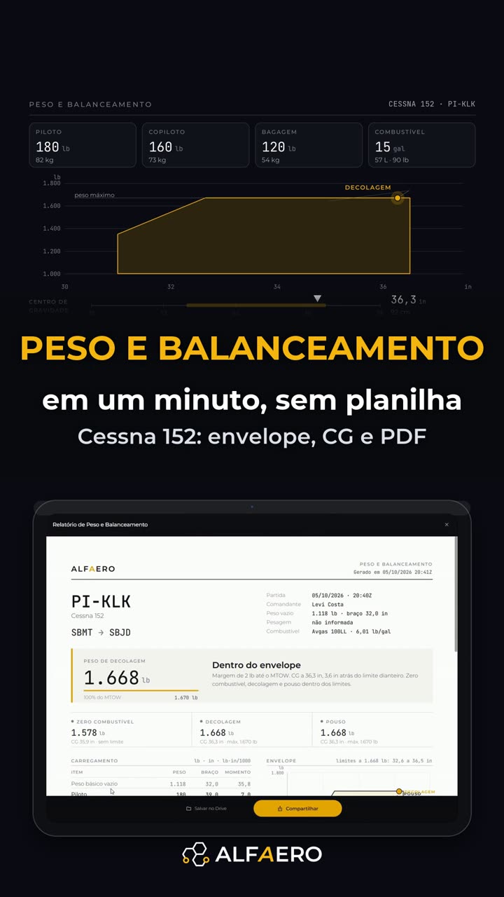 1:24 Weight and balance without a spreadsheet Drag the load and watch the CG on the envelope, with a PDF report.
Do it on your device
Download Alfaero and repeat the tutorial on your phone, tablet or Windows.