



Flight planning
How to insert a REA or REH visual corridor into the route
Building the route along the REA (Brazil's visual route chart) point by point, checking the altitude of each segment, is where mistakes show up. In Alfaero, when you place a visual position that sits on a corridor, the app asks whether you want to join and builds the whole segment with the published altitude.
Step by step
- On the route from Campo de Marte to Jundiaí, type Perus in the search bar and choose the visual position.
- Perus sits on a corridor, so the app asks whether you want to join the REA. Tap open.
- Choose the corridor: each one appears in a color on the map, showing whether the route is mandatory and what the frequency is.
- Choose which position you go to, seeing the published altitude of each option (in the video, Morato at 4,200 feet).
- The points go in as a block, each with its own altitude, and the summary shows the corridor, the frequency and the publication.
- When you copy the route, the flight plan comes out in the manual format, with the corridor name in item 18. The X in the summary removes the whole block.
Frequently asked questions
Does it work with helicopter corridors?
Yes. The helicopter visual corridors (REH) go into the route the same way as the REA ones.
Does the insertion replace the chart?
No. The app itself reminds you that the insertion helps with planning, but it does not replace the current chart or the pilot's own check.
More tutorials
All tutorials-
 1:19 Automatically built REA route Only departure and destination: the app suggests the path along the visual corridors.
-
 0:59 VFR route along the São Paulo REA Campo de Marte to Jundiaí along the visual points, in under a minute.
-
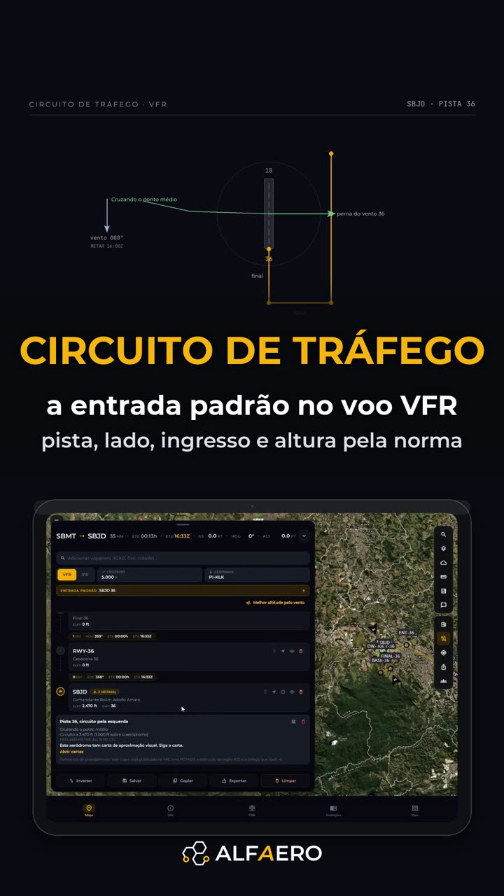 2:12 VFR traffic pattern Standard entry: runway from the wind, left-hand pattern and each leg as a waypoint.
Do it on your device
Download Alfaero and repeat the tutorial on your phone, tablet or Windows.