



Video tutorials
Learn to use Alfaero in one to two minute videos
Each tutorial shows the real app on screen, with the simulator flight on top, from the first tap to the result. Pick a topic and watch.
Flight planning
-
 2:09 Step by step before the flight Download charts, build the route, add waypoints, change the order and move them on the map.
-
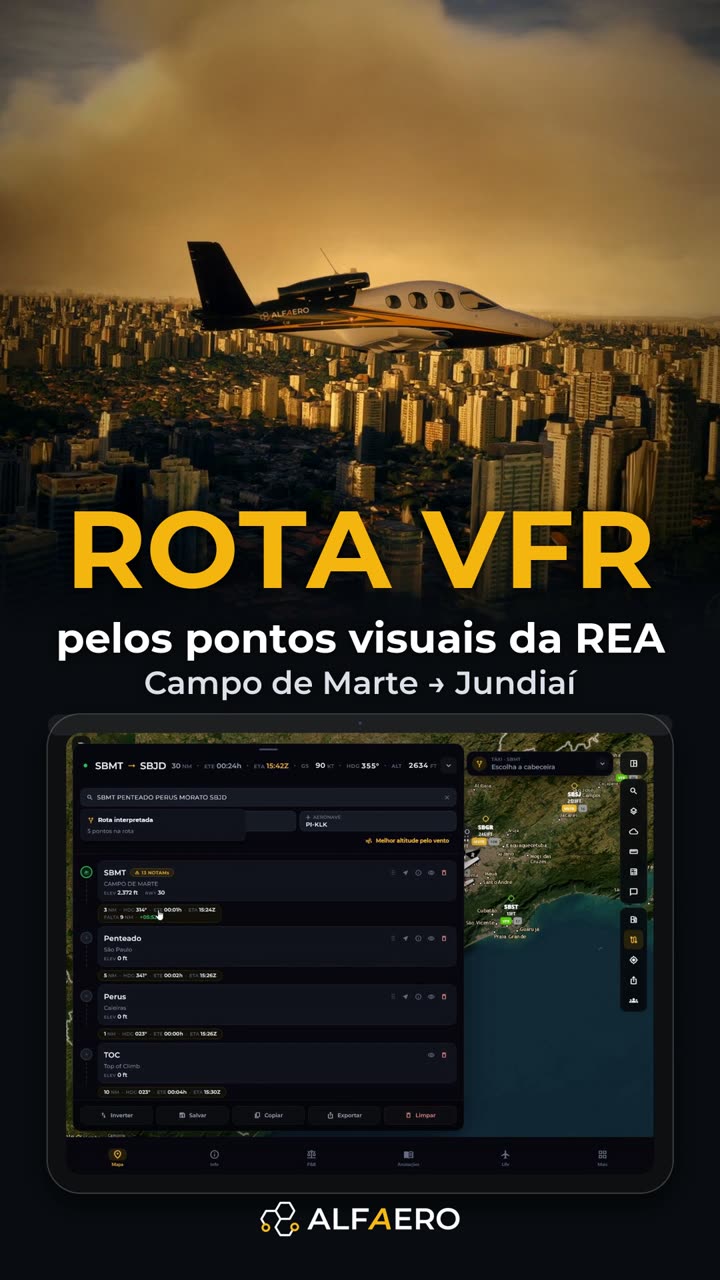 0:59 VFR route along the São Paulo REA Campo de Marte to Jundiaí along the visual points, in under a minute.
-
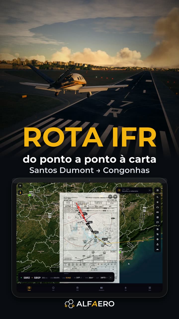 1:14 IFR route from Santos Dumont to Congonhas SBRJ NAXOP UZ45 IBDAL SBSP, with the ILS chart over the map.
-
 1:19 Automatically built REA route Only departure and destination: the app suggests the path along the visual corridors.
-
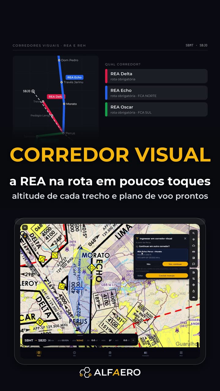 1:30 REA and REH visual corridors Choose the corridor and the exit; the points go in as a block with the altitude.
-
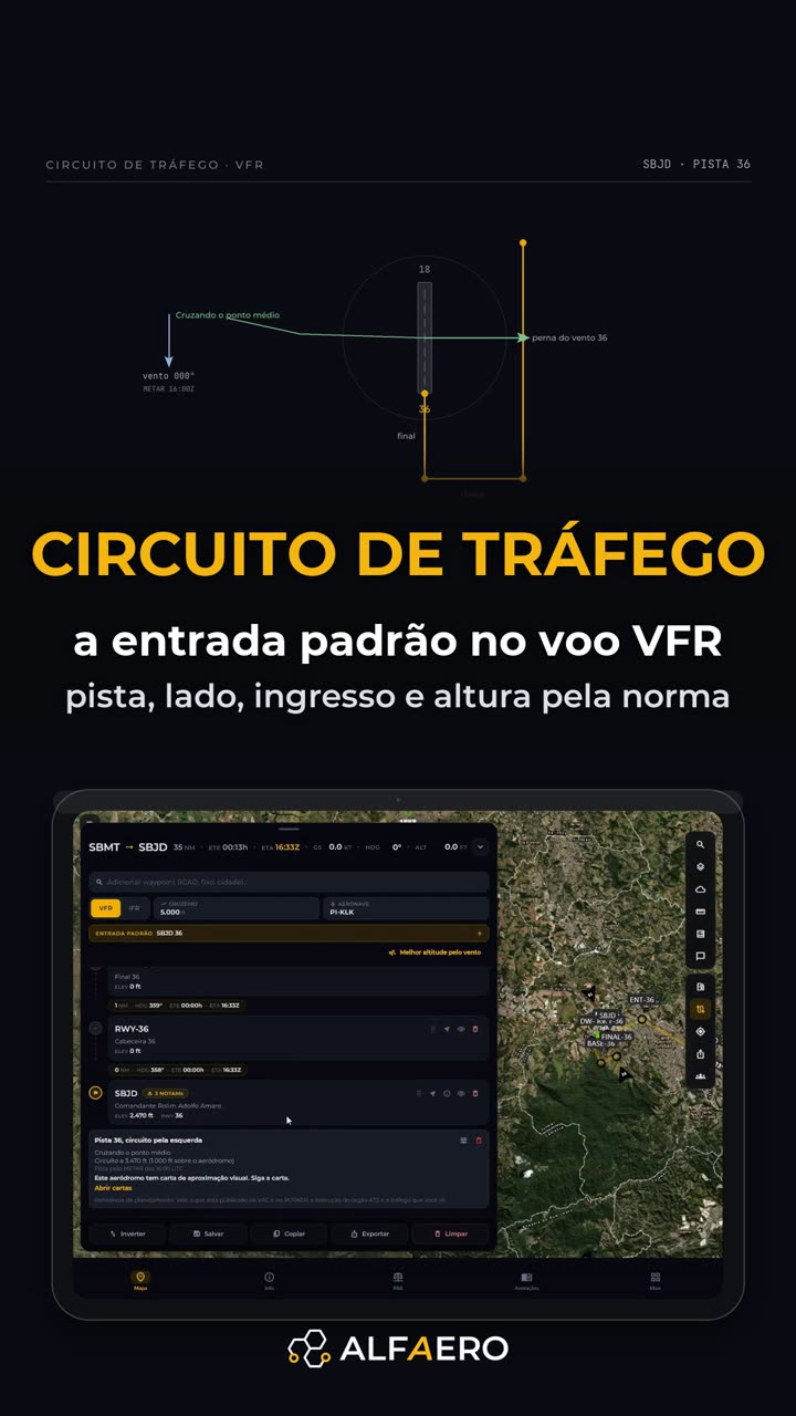 2:12 VFR traffic pattern Standard entry: runway from the wind, left-hand pattern and each leg as a waypoint.
-
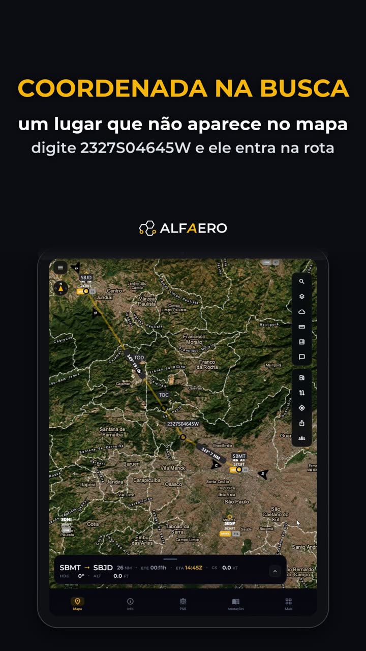 1:01 Fly to a coordinate Any point on the map becomes a waypoint, just from the coordinate.
-
 1:20 Weather layers on the map Observed rain, lightning, precipitation, winds and SIGMET explained by AI.
Weight and balance
-
 1:24 Weight and balance without a spreadsheet Drag the load and watch the CG on the envelope, with a PDF report.
-
 1:03 Set up the aircraft profile The profile comes from the catalog; you adjust what belongs to your aircraft.
-
 1:31 Profile from scratch, outside the catalog Type everything from the manual, with the envelope drawn instantly.
Safety and information

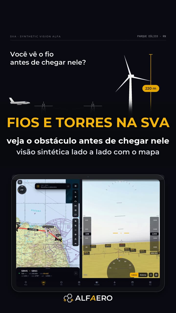
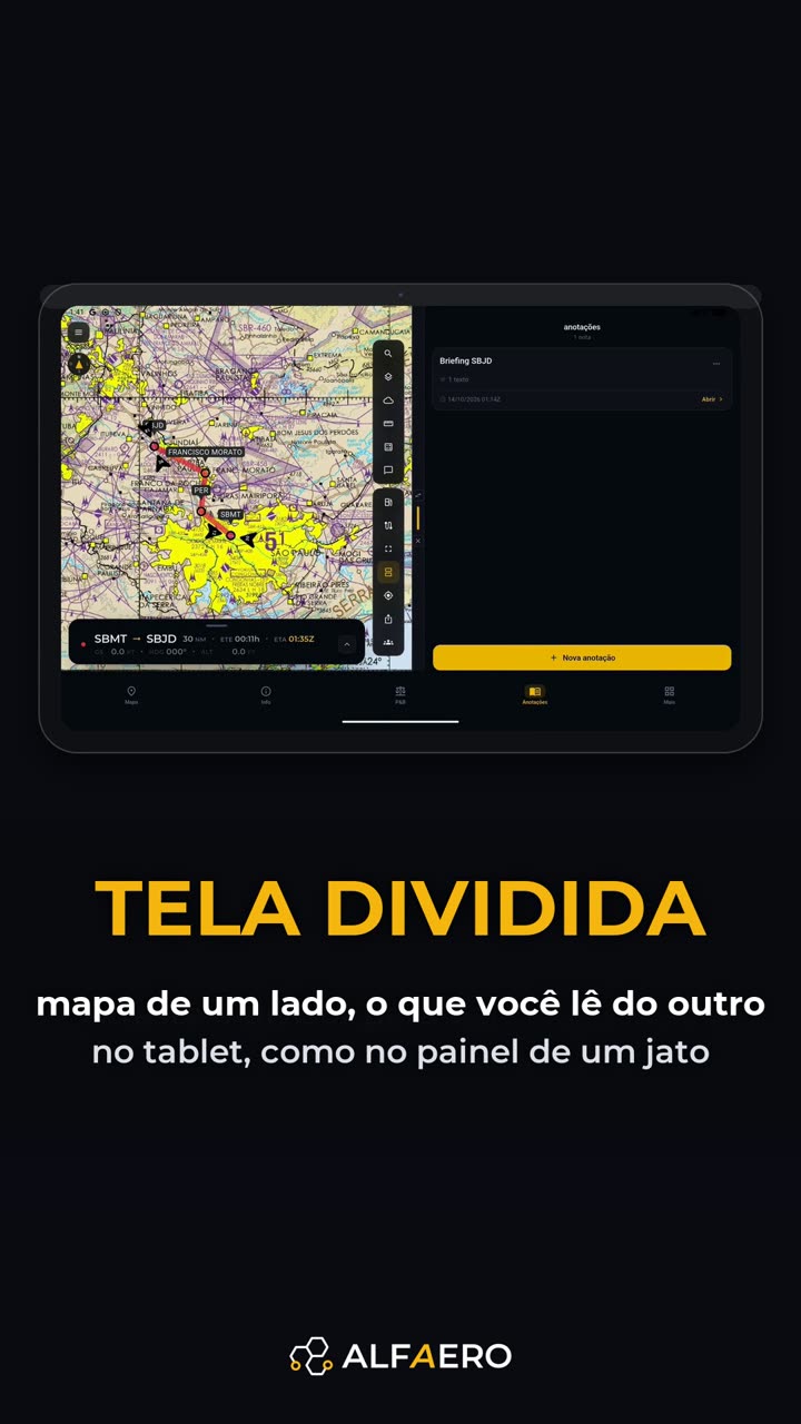
Meet Alfaero


Do it on your device
Download Alfaero and repeat the tutorial on your phone, tablet or Windows.