



Flight planning
REA route built automatically, from end to end
Placing the REA (Brazil's visual route chart) points one by one, on the map or in a list, is still manual selection. In Alfaero you type only the departure and the destination, Campo de Marte to Jundiaí, and the app notices that the route starts in a REA area and suggests a ready path, drawn on the map.
Step by step
- Build the route with only departure and destination (SBMT and SBJD).
- The app detects that the route starts in a REA area and asks whether you want to join it, already showing the end to end path on the map.
- The suggestion links the chart corridors, uses each segment only in the published direction and looks for the shortest path, preferring to stay in the same corridor. Entry is always through an access point of the area.
- Check the altitude of each leg in the chart format. A number between two dashes is a mandatory altitude.
- Tap Use suggestion and the points go into the route, or Choose another to select corridor by corridor.
- On a long route, the app suggests the departure from one area and the arrival in the other, and you mark which ones you want to use.
Frequently asked questions
Does the suggestion respect the corridor direction?
Yes. Each chart segment is used only in the published direction, and entry is always through an access point of the area, a gate or the end of a corridor.
Can I choose another path?
Yes. Choose another opens manual selection, corridor by corridor, with the frequency and altitude of each one.
More tutorials
All tutorials-
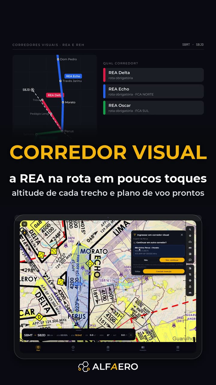 1:30 REA and REH visual corridors Choose the corridor and the exit; the points go in as a block with the altitude.
-
 0:59 VFR route along the São Paulo REA Campo de Marte to Jundiaí along the visual points, in under a minute.
-
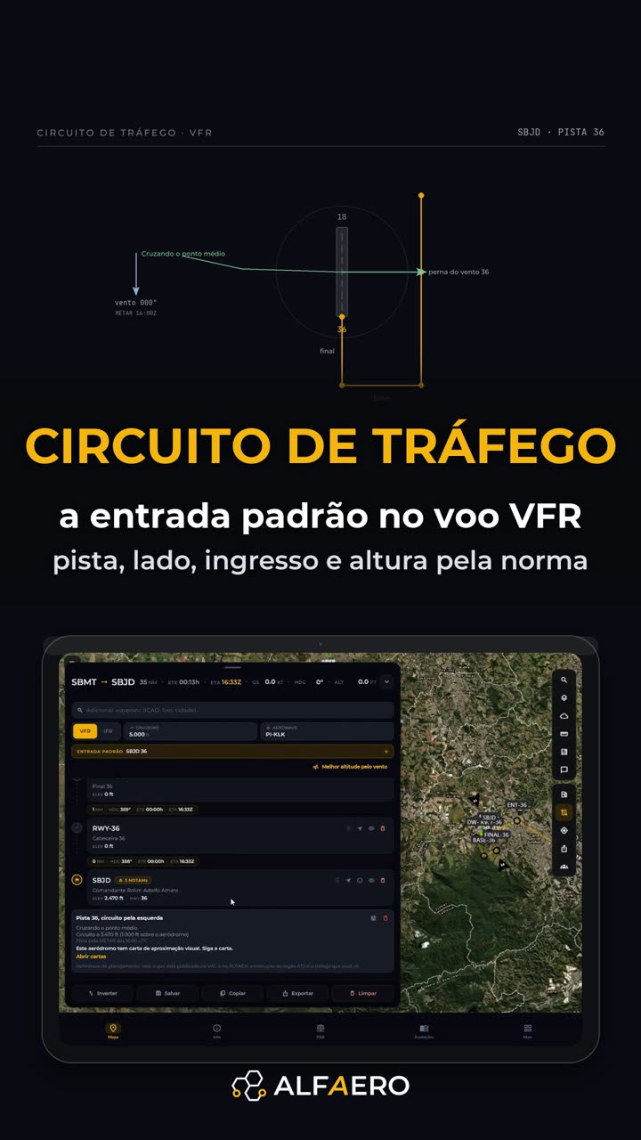 2:12 VFR traffic pattern Standard entry: runway from the wind, left-hand pattern and each leg as a waypoint.
Do it on your device
Download Alfaero and repeat the tutorial on your phone, tablet or Windows.