



Safety and information
Synthetic vision with obstacles and high-voltage power lines
A high-voltage power line is almost invisible from the cockpit, and a wind turbine in northeastern Brazil can reach 220 meters. SVA, the Alfaero synthetic vision, shows both before you get there, next to the map.
Step by step
- Tap Split screen and choose the SVA tab in the bottom bar. One side shows the map with the route; the other, the 3D terrain at your altitude and attitude.
- Wind turbines, transmission and telecommunication towers, masts and chimneys appear at their real position and height.
- The color comes from the top of the obstacle: yellow up to 1,000 feet below you; red less than 100 feet below or above.
- The wires between towers appear up to 6 km away, with the sag of the cable.
- On the closest obstacles, the label shows the top altitude and the height above ground. With a tilde in front, the height is estimated.
- Download the region in Downloads, Terrain tab, and the obstacles come with it. It works in airplane mode.
Frequently asked questions
Where does the obstacle data come from?
From ANEEL and OpenStreetMap. This is not certified data: it supports situational awareness and does not replace the chart or looking outside.
Does it work without internet?
Yes. Download the region in Downloads, on the Terrain tab, and the obstacles come with it.
More tutorials
All tutorials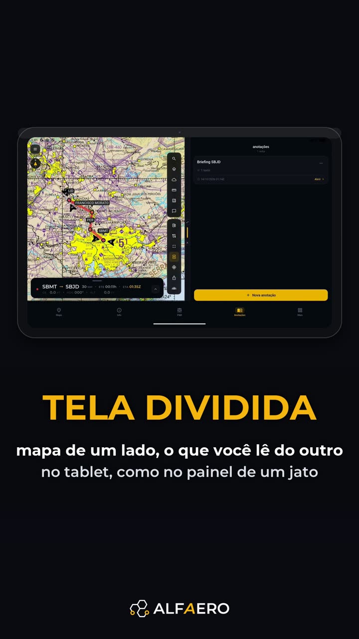

Do it on your device
Download Alfaero and repeat the tutorial on your phone, tablet or Windows.